

'/%3e%3cpath%20id='Vector_2'%20d='M417.145%20252.727C445.882%20224.202%20492.492%20224.202%20521.174%20252.727L590.632%20321.802L590.633%20321.803C610.188%20341.14%20641.785%20341.141%20661.231%20321.802L742.281%20241.253C744.987%20238.613%20749.324%20238.618%20751.97%20241.25L820.004%20308.911L820.15%20309.057H820.197C822.76%20311.753%20822.71%20315.948%20820.061%20318.532L820.058%20318.536L695.529%20442.328C657.111%20480.534%20594.86%20480.534%20556.443%20442.328H556.444L504.431%20390.55L503.972%20390.099C484.438%20371.156%20453.181%20371.307%20433.832%20390.55L367.327%20456.688C358.178%20465.786%20345.781%20470.901%20332.731%20470.901H217.114C209.964%20470.901%20206.455%20462.358%20211.454%20457.283L408.01%20261.81L417.145%20252.727Z'%20stroke='url(%23paint1_linear_0_5)'/%3e%3c/g%3e%3cdefs%3e%3clinearGradient%20id='paint0_linear_0_5'%20x1='347.057'%20y1='7.15256e-07'%20x2='347.057'%20y2='471.102'%20gradientUnits='userSpaceOnUse'%3e%3cstop%20stop-color='%23152693'/%3e%3cstop%20offset='1'%20stop-color='%23CF5809'/%3e%3c/linearGradient%3e%3clinearGradient%20id='paint1_linear_0_5'%20x1='515.597'%20y1='230.833'%20x2='515.597'%20y2='471.483'%20gradientUnits='userSpaceOnUse'%3e%3cstop%20stop-color='%23152693'/%3e%3cstop%20offset='1'%20stop-color='%23CF5809'/%3e%3c/linearGradient%3e%3c/defs%3e%3c/svg%3e)
'%3e%3cellipse%20cx='248.371'%20cy='24.3513'%20rx='233.071'%20ry='9.05128'%20fill='black'%20fill-opacity='0.8'/%3e%3c/g%3e%3cdefs%3e%3cfilter%20id='filter0_f_0_4'%20x='0'%20y='0'%20width='496.741'%20height='48.7026'%20filterUnits='userSpaceOnUse'%20color-interpolation-filters='sRGB'%3e%3cfeFlood%20flood-opacity='0'%20result='BackgroundImageFix'/%3e%3cfeBlend%20mode='normal'%20in='SourceGraphic'%20in2='BackgroundImageFix'%20result='shape'/%3e%3cfeGaussianBlur%20stdDeviation='7.65'%20result='effect1_foregroundBlur_0_4'/%3e%3c/filter%3e%3c/defs%3e%3c/svg%3e)
Advanced Mission Features
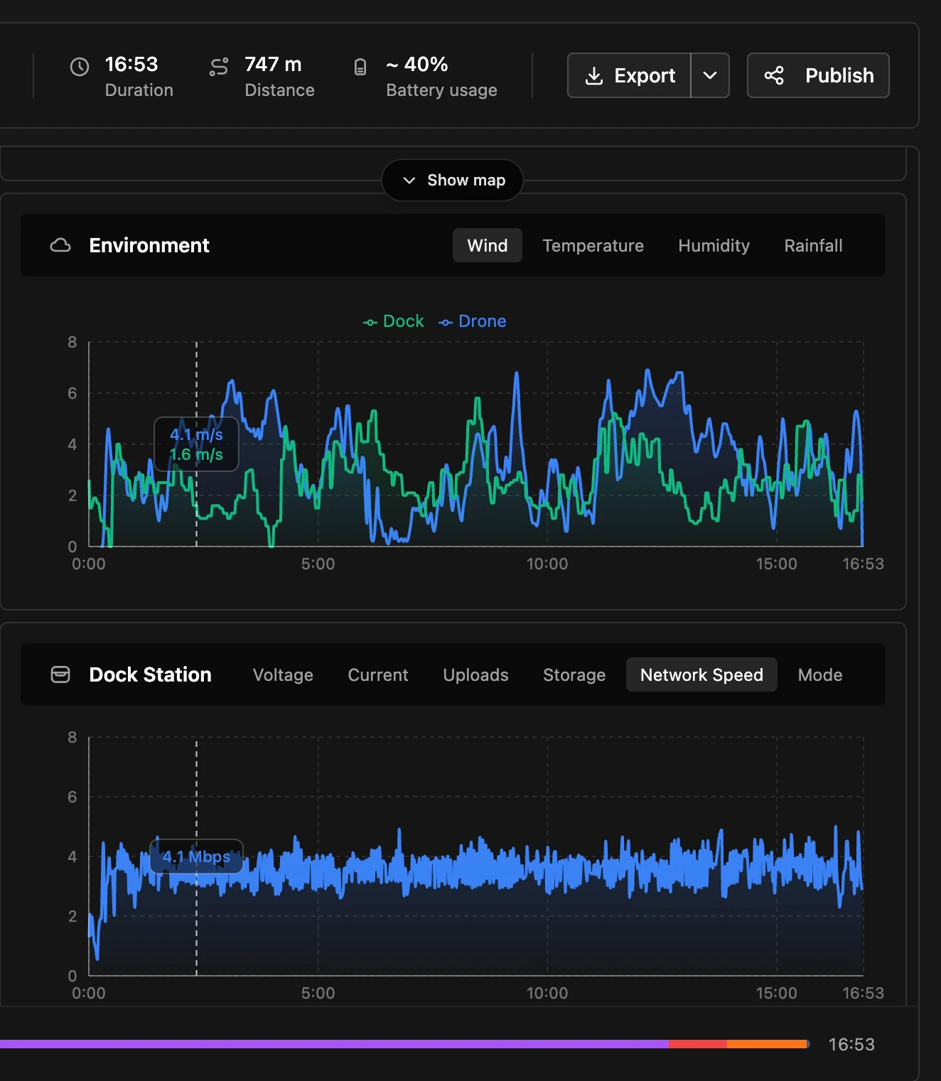
Designed for DFR, every aspect of a mission during and afterwards is covered
Rapidly deploy drones and deliver real-time situational awareness to the teams who need it most.
Trusted by:

Pickens Police Department
Black Mountain Police Department

Muscogee Police Department
We’ve developed an advanced, easy-to-use drone management system specifically designed for first responders—shaped with input from people working in the field to meet the demands of real-world operations, not just a collection of features.
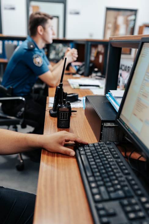
Get situational awareness with low risk
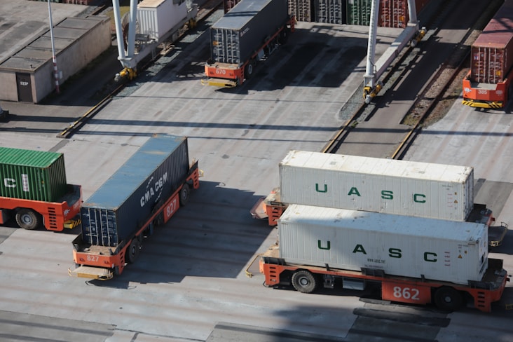
Monitor environments with ease
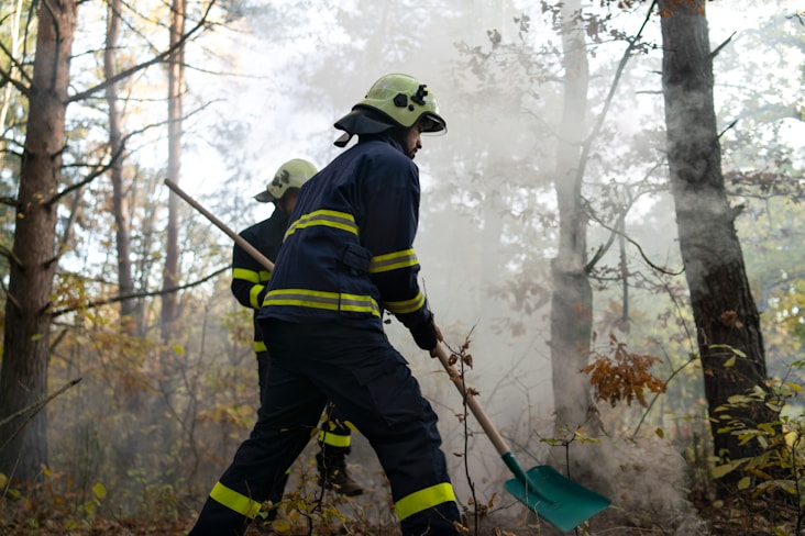
Rapid assessment of wildfires, floods, and ...
Designed for DFR, every aspect of a mission during and afterwards is covered
A central warning system with TCAS-inspired collision alerting, fed by device ADS-B and SafeSky.
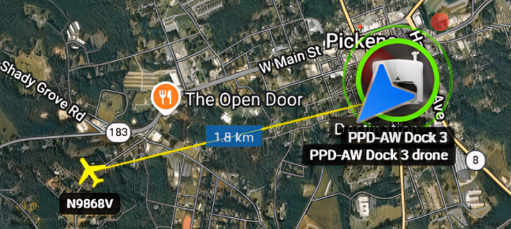
Host your data in your own region and connect through the entry point nearest to you.

Get maps sourced depending on operation location - not restricted by one provider

Airnux is accessible from web and your device's native controller, you might even connect your Xbox or PlayStation controller to enhance the experience.
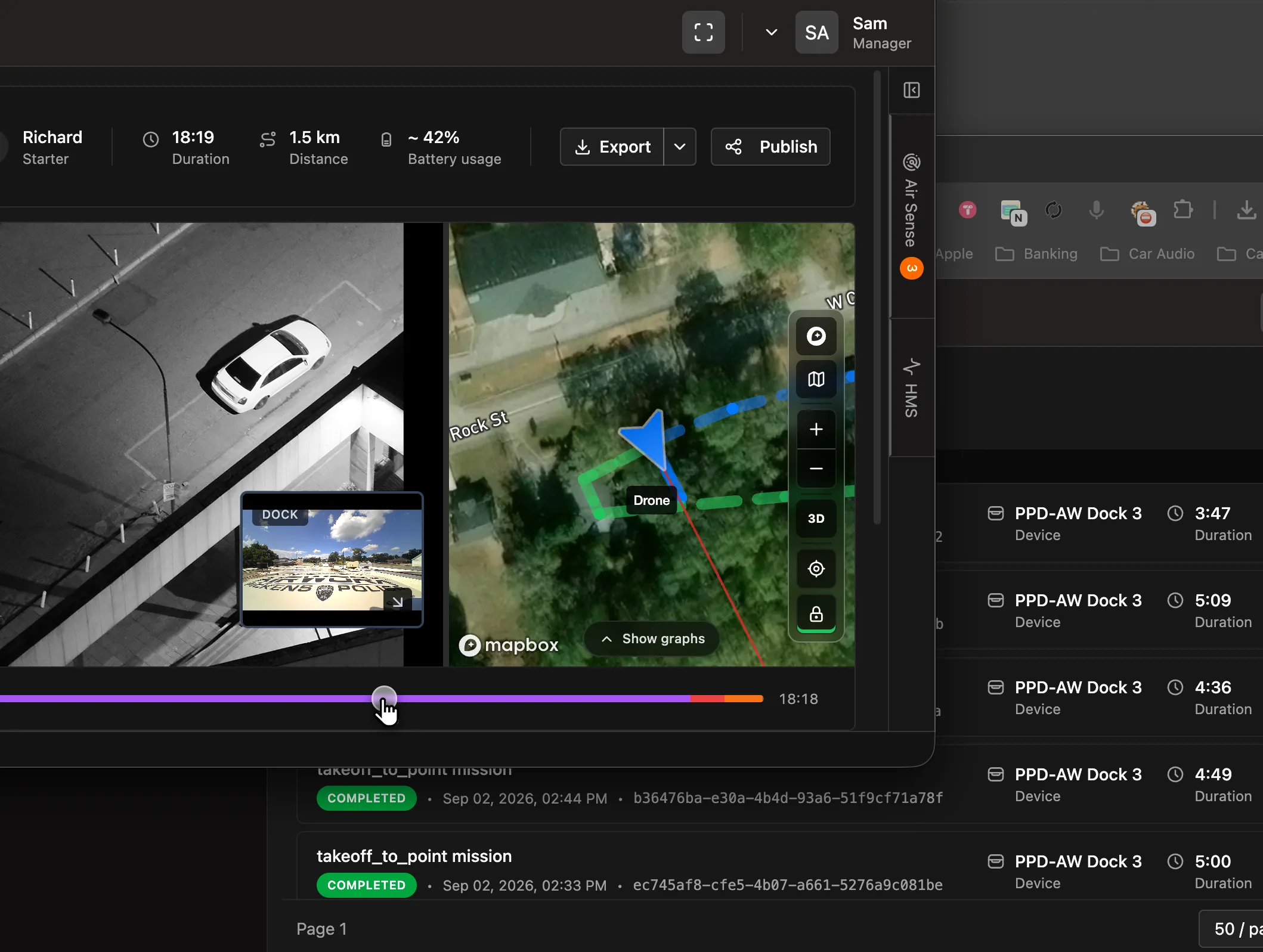
A live wall of video and map views from multiple devices at once, built for the command post.
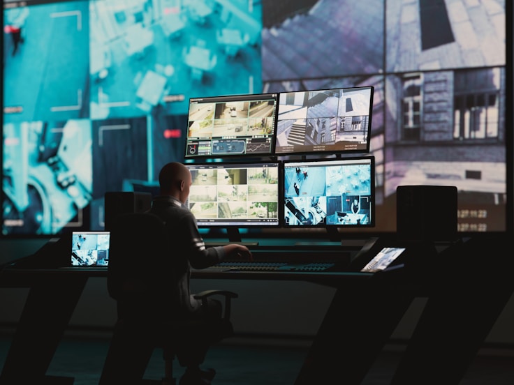
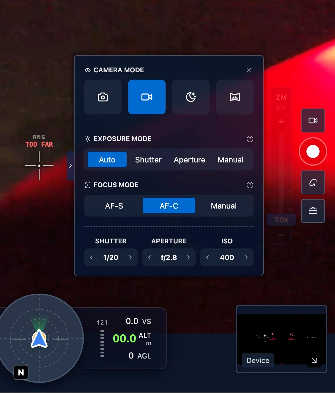
We've designed every element to get out of your way, and put essentials one click away
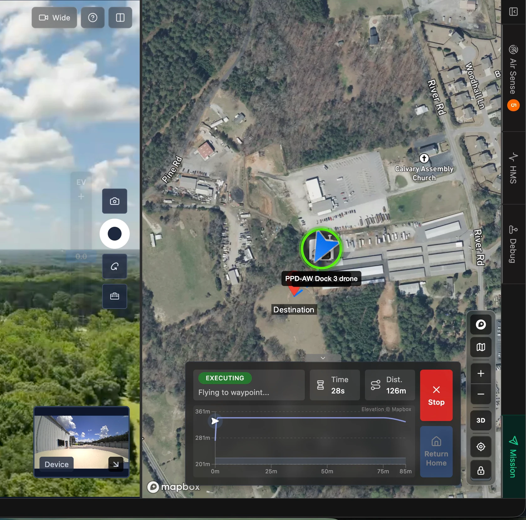
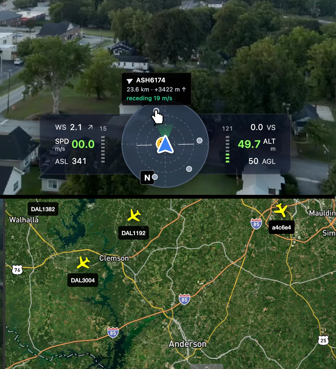
We provide tools to gather elevation info for your routes before takeoff & dynamically during a flight - using multiple sources including region based providers

A smart AR street map over the live drone FPV feed - orientation at a glance.


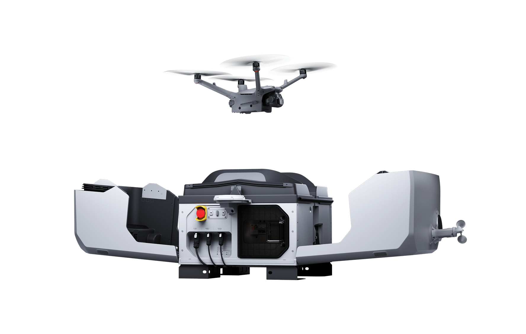
Fly DJI Dock 2 and Dock 3 with their Matrice aircraft - with deep coverage of advanced features.

Launch to an authorized location with one click, redirect mid-flight, and keep emergency actions one tap away.

Plug your organization's data and workflow in through flexible integration models.

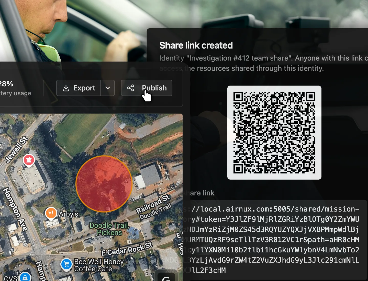
Draw allowed and restricted zones on the map, or import them from KML.

Available in English and Norwegian, with per user metric or imperial units.

Browse every captured photo and video, pinned to where it was taken on the map.

Advanced access management with roles, granular permissions and working groups.

Live video - built for real-time decisions. with low latency designed pipeline and stable multi encoding video system.

Every completed mission's flight log uploads to DroneLogbook automatically, in standard GUTMA format.

Broadcast your drone's live position to the SafeSky airspace network for air-traffic discoverability.

Support for DJI's FTS module to help meet European MOC2511 containment requirements.

Send your devices' video feeds to your own media server automatically.
Have questions about our drone solutions? Reach out through any of the channels below and our team will get back to you promptly.

Contact us for product demos and pricing — we'll help you find the right solution for your team.

Need help with deployments, integrations, or troubleshooting? Our team is here to support you.

Join our reseller or integration partner network to collaborate on customer deployments and growth.

For press, careers, or anything else — send us a message and we'll route it to the right person.
